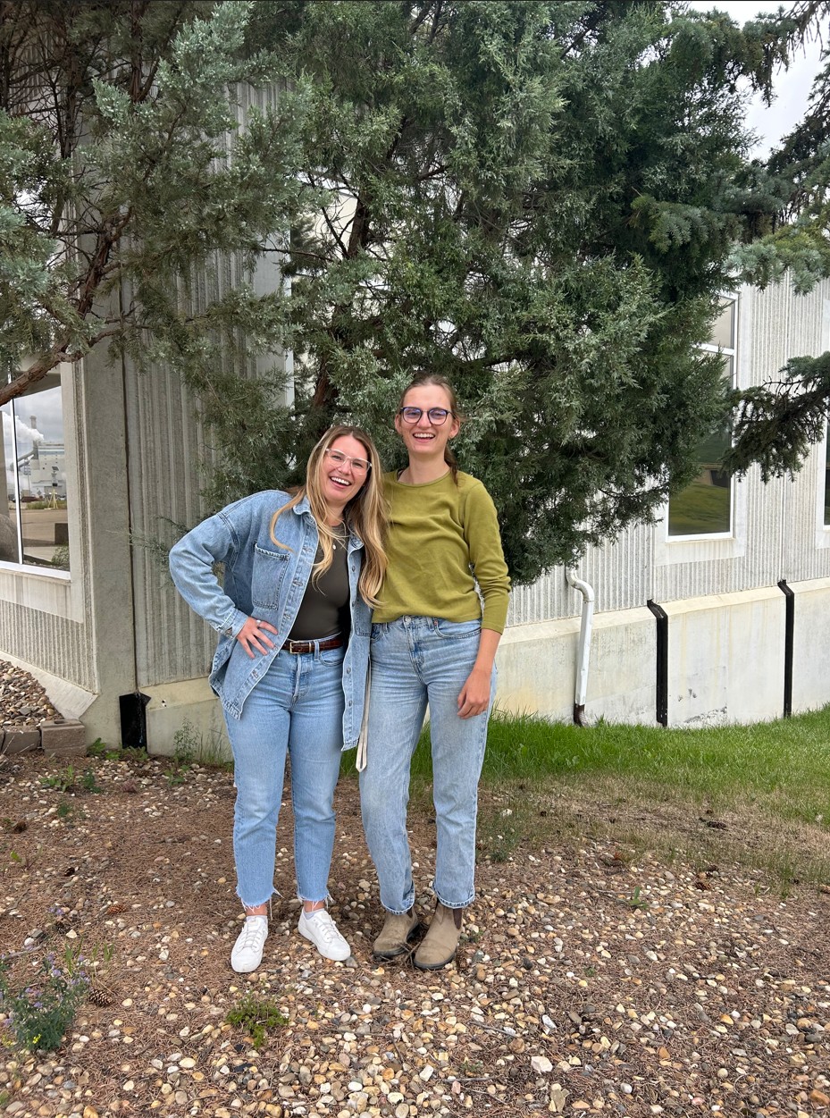
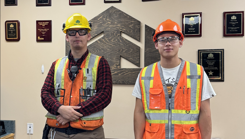
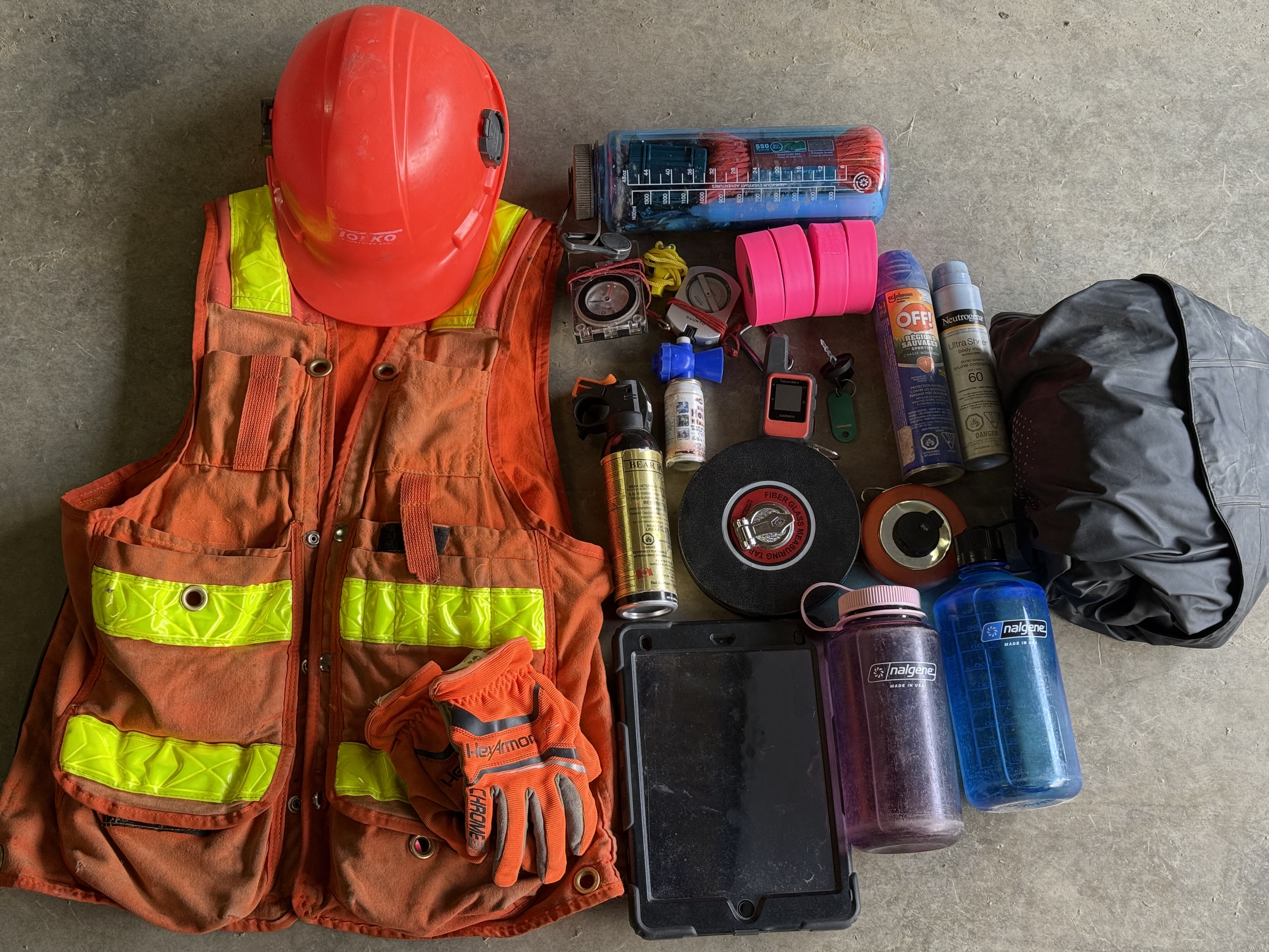
When I hung up my caulk boots for a desk job this summer, I didn’t expect to find myself in the field. A few weeks ago, the Harvesting Supervisor, Patrick asked the GIS team to join him for a day in the field to fly drones. GIS siezed the opportunity. So on a sunny Thursday in July, with excitement, GIS jumped in a field truck and went on an adventure.

The plan for the day was to fly blocks in a previously burned area that had been recently harvested. The purpose was to check the harvested boundaries were correct, roads had been properly rehabbed and to audit other post harvest distubances.
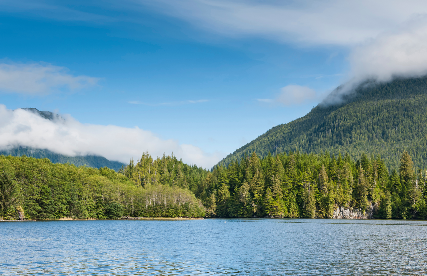
We started the days tour with driving up the east side of Adams Lake. We stopped in at Interfor’s camp at the north end of the lake. We needed snacks for the upcoming big day of adventure. After the camp, we drove into the Momich. The Momich is a beautiful valley at the north end of Adams Lake. There was a large fire that went through it in 2021, leaving a lot of the valleys forest burned.

At the first block, Patrick showed the application he uses to create a drone flight plath for the block and how he flys it. It was actually quite simple. I had previously flown drones for work when I lived in Terrace, but it was interesting to see Interfor’s procedure. We flew 4 blocks that day.


After a full day of field fun, GIS was all tuckered out. We got to see new areas of Interfor’s tenure and learn about post harvest inspections. A day with boots on the ground was a great way for the GIS team to better understand what our foresters do on a daily basis. Thanks Patrick for bringing out the GIS team. Thanks Alex for being world’s coolest supervisor.


.jpeg)


